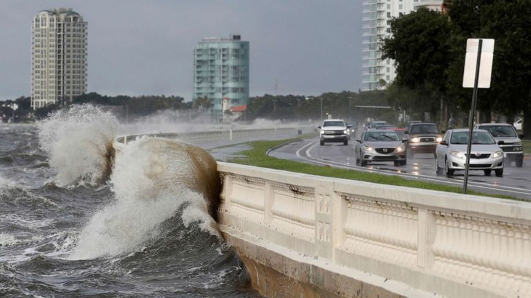
ELSA tracking inland along eastern seaboard.

From west to east:
Disturbance Seventeen is still loafing about in the western Gulf of Mexico, loosely centred around 60 miles north-east of the mouth of the Rio Grande. This is cycling heavy rainfall across the lower Texas coast as it edges its way ashore. Aside from the increased precipitation, development is not expected.
Oddball storm ELSA continues to show unusual traits as it makes its way inland along the south-eastern seaboard. ELSA has regained tropical storm intensity currently northbound with the weak nominal centre following Interstate 95 near Walterboro, South Carolina at 18 knots . Whilst this has tropical storm definition, the strong winds are over the coast and seaward with winds gusting 60 knots, but as low as 30 knots inland where the most significant impacts are from rain squalls with gusts of strong winds and tornadoes spinning off the windfield. ELSA is expected to continue this half-and half path with the centre ashore and winds over the coast until relaunching around Chesapeake Bay overnight before moving over Long Island and New England. Whilst ELSA may remain a tropical storm as it moves into New England, any sustained tropical storm force winds are expected to be confined to the immediate coastal areas and close inshore.
Disturbance Fifteen is centred around 100 miles north of Lake Maracaibo headed west at a brisk 22 knots. Upper level shear and high ground speed will not permit this to develop.
Disturbance Eighteen is a day west of the Cape Verde Islands heading west along the convergence zone at 16 knots. Aerial imagery shows dry air being drawn in to the system with no apparent surface organisation.
Stand by for tropical storm conditions along eastern seaboard.
Image Taylor St Claire