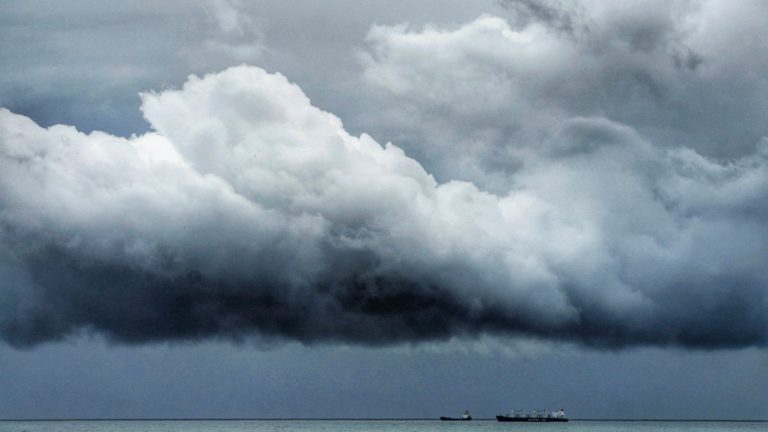
Tropical storm conditions expected to develop in SE Gulf of Mexico.

Disturbance One slipped the Mexican coast in the last hour or so and is crossing the northern end of the Yucatan channel. This is expected to begin developing as it crosses the warm waters of the Gulf of Mexico on a heading around north-nor’east at just 4 knots. If this slow speed continues, the disturbance will have more development prospects although upper level wind shear awaits. The smart money would seem to indicate this becoming a tropical depression overnight and forming our first named storm by morning. Wind shear is still an unknown quantity although a reconnaissance aircraft has reported strong winds aloft in the last hour. In any event, a westerly wind shear will push any muck and filth to the east of the nominal centre and make this a rainmaker for Florida. On the current course, with allowance for an inevitable acceleration, the forward running squalls should reach Florida Keys late tomorrow morning and spread across the southern Florida peninsula by tomorrow afternoon. Once back into the Atlantic late on Sunday, this system may rally as it heads seaward but it likely to be short-lived thereafter.
Disturbance Two has opened out into a low pressure trough, centred some 200 miles northeast of the Bahamas and headed safely north-east. Aerial imagery shows scattered, disorganised thunderstorms and some heavy rain but on this heading, unlikely to bother anyone ashore or near coastal.
Stand by for potential weak tropical storm conditions developing in the south-eastern Gulf of Mexico tomorrow.
Image Nica Noelle