Category Four hurricane IAN close to destructive landfall.
From west to east;
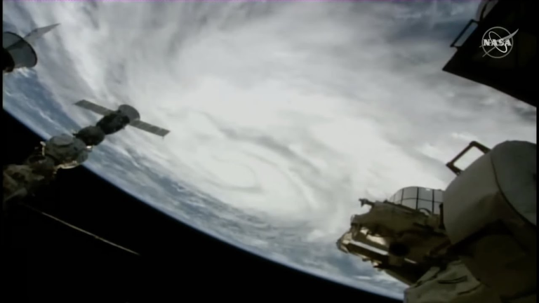
As hurricane IAN approaches the coast of Florida, live meteorological observations render any bulletin such as this almost immediately redundant, thus this overview is a snapshot taken at the time of transmission only. Currently 65 miles south-west of Fort Myers headed north-nor’east at 8 knots, category four hurricane IAN is at peak now producing winds gusting 145 knots with a tropical storm force windfield of 150 miles and a hurricane force windfield of 45 miles which equates to a hurricane severity index rating of 26 out of a possible 50 (10 for size and 16 for intensity). This size and intensity are likely to be more or less set for landfall which is expected south of Tampa between Venice and Fort Myers in around 8 hours’ time. IAN wobbled slightly a few hours ago which briefly upset the convection column but given the intensity of this storm, that’s hardly noticeable but may have prevented this hitting category five. Weather conditions are already rather foul in the Fort Myers area which will experience the first hurricane force gusts very soon. A significant tidal surge (which some agencies are describing as ‘catastrophic’) of up to 15 feet will begin soon and this is expected to be at its most destructive near and to the south of landfall. Strong rainbands which began fanning out over Key West last night are now spreading along the coast and rainfall is expected to be ‘very significant’ in biblical quantities. This is a nasty, destructive and potentially lethal storm. After landfall, IAN will continue moving slowly to the north-nor’east, to cross the Florida peninsula and then onwards into the Atlantic. Once over the Atlantic, IAN should turn to the north. A final landfall is expected over South Carolina on Friday but any prediction of intensity is a waste of time at the moment.
Disturbance Thirty Four is centred 750 miles west of the Cape Verde Islands headed north-west at 8 knots with maximum wind speeds of just 30 knots. This is in fertile waters and may strengthen to a weak tropical storm or tropical depression over the next day or two followed by a weakening trend. This system is no threat to any land areas.
Stand by for a powerful, destructive landfall from category four hurricane IAN.