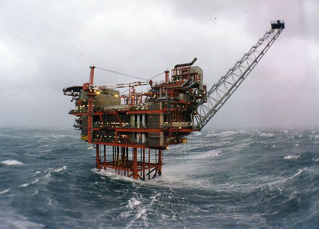
Weakening KARL approaching Mexican offshore oil leases
Tropical Storm KARL is now centred around 240 miles north-east of Veracruz. Increasing upper level wind shear is taking chunks out of the convection cycle and interrupting the vertical structure, causing weakening of the cyclone which will continue. Maximum sustained winds are currently estimated to be just 45 knots and a windfield radius of 90 miles which is peak strength with an HSI rating of 3 (1 for size and 2 for intensity). Currently drifting south, KARL is heading towards the Mexican offshore oil leases but with weakening force, unlikely to be a significant threat. KARL will probably make a landfall near Coatzacoalcos, Mexico as a minimal tropical storm early on Saturday and should then quickly dissipate after landfall. The greatest threat will be flash flooding and mudslides for portions of southern Mexico.
There is a flurry of activity in the central Atlantic which doesn’t seem to be attracting the attention of the professional agencies. We will of course keep an eye on that.
Further east, Disturbance Thirty Nine has piped up 450 miles south of the Cape Verde Islands. A track towards the west-nor’west is expected over the next few days into an area of variable development prospects. This does seem to be suggesting an early turn into the central sub-tropical Atlantic but too soon to predict with any certainty.
Stand by for tropical storm conditions across the Mexican oil leases albeit weakening.