Storm cones aloft for NICOLE
From west to east:
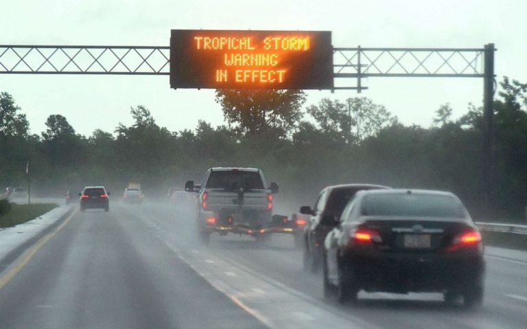
Disturbance Forty Five beefed up overnight and has formed Tropical Storm NICOLE. Currently centred 500 miles north-nor’west of San Juan, Puerto Rico with maximum winds of 40 knots, NICOLE is headed north-nor’west at 12 knots. Steering currents will push this to the west-sou’west tonight with a track across the northern Bahamas into southern Florida over the next couple of days. This track, combined with strong high pressure to the north will see an increasing risk of strong winds with coastal flooding, heavy rainfall, rough surf, and beach erosion from the northern Bahamas and Florida to the Carolinas – and perhaps beyond – over the next few days. I’ll stick my neck out and suggest hurricane response plans are at the ready. This cyclone has some unusually warm waters ahead and despite the modellers expecting this to have a very large windfield and weak core, I’m not convinced. Large yes, weak core – I can’t see it.
Oddball Disturbance Forty Four is now 650 miles east of Bermuda moving north at 5 knots. Wind shear remains strong across the disturbance and the likelihood of it becoming a short-lived tropical depression or weak tropical storm is decreasing. This is expected to accelerate to the north-east over the next 24 hours and merge with a cold front.
Stand by for tropical storm conditions across the northern Bahamas and approaching Florida.